Kayseri’s Earthquake Memory: Erciyes faults, historical tremors and what today’s shakes mean
We relate recent tremors near Kayseri to the active faults around Mount Erciyes and to centuries of historical earthquake records; combining science and archival evidence to discuss risk and policy.
1. What happened (verified brief)
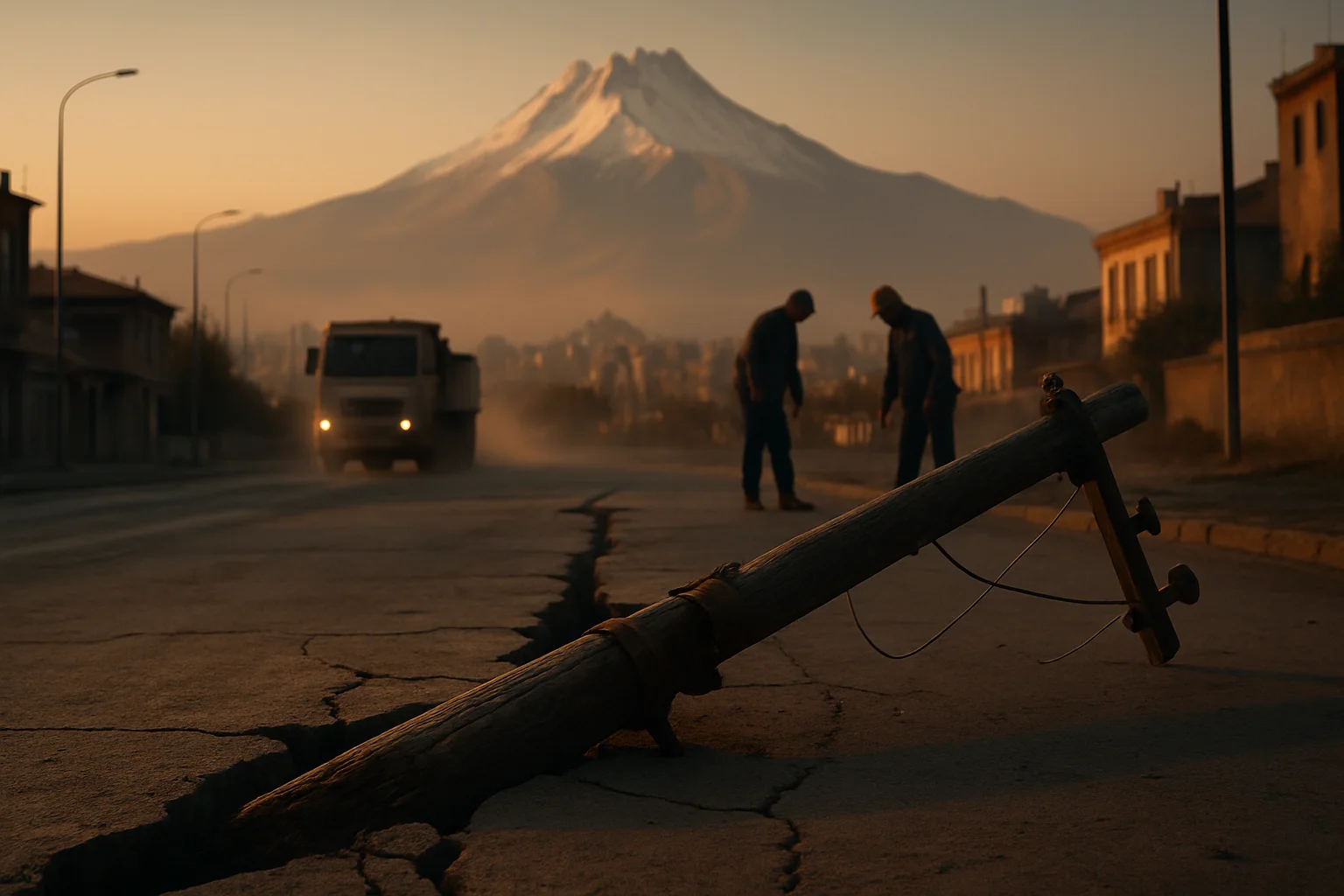
According to AFAD’s latest earthquake bulletins, the last days of August 2026 saw a series of local tremors around Kayseri; entries list events near Pınarbaşı and nearby districts, indicating ongoing local seismicity. These official records confirm active seismic behavior in the area. ([deprem.afad.gov.tr](https://deprem.afad.gov.tr/last-earthquakes.html?ftag=YHF4eb9d17KAYNAK))
2. The geography of the Erciyes basin and active faults
Kayseri sits within an extensional basin bounded by the Erciyes stratovolcano and dissected by several active fault strands: notably the Erciyes Fault, the Erkilet Fault Zone, İncesu and Yeşilhisar zones. These structures are segments of the Central Anatolian fault system that accommodates internal deformation of the Anatolian microplate. ([agupubs.onlinelibrary.wiley.com](https://agupubs.onlinelibrary.wiley.com/doi/10.1002/2015TC003864))
3. Historical earthquake record: the city’s written memory
Archival and compiled historical catalogs report damaging earthquakes affecting Kayseri in 1714, 1717 and 1835, among other occasions. Ottoman court records, vakıf documents and later catalogues record both wide-area damage and impacts to urban fabric — evidence that significant shocks have recurred in this region over centuries. ([jmo.org.tr](https://www.jmo.org.tr/resimler/ekler/4ce6ecf6eff3fd0_ek.pdf))
4. Scientific evidence from paleoseismology and fault studies
MTA studies and university paleoseismological investigations have identified active tectonic signatures along the main fault strands around Erciyes, including displaced deposits and geomorphic markers of past surface-rupturing events. These data indicate the capacity for repeated moderate-to-large earthquakes in the Holocene. ([eticaret.mta.gov.tr](https://eticaret.mta.gov.tr/index.php?product_id=37345&route=product%2Fproduct))
5. Monitoring and official assessments
Modern seismograph networks operated by AFAD and Kandilli allow near-real-time reporting of small and moderate events; this improved detection is the reason recent low-magnitude tremors are visible in national databases. Local disaster risk reduction plans (IRAP) for Kayseri incorporate this instrumental knowledge into zoning and mitigation recommendations. ([deprem.afad.gov.tr](https://deprem.afad.gov.tr/last-earthquakes.html?ftag=YHF4eb9d17KAYNAK))
6. Historical damage versus modern building stock
Whereas historical earthquakes led to widespread structural collapse in earlier centuries, today’s risk depends on building materials, construction era and ground conditions. Neighborhoods located on soft basin fills or close to mapped active strands are at higher risk, and technical reports warn that a magnitude ~6 rupture on a nearby fault would likely produce heavy damage in weak-constructed areas. ([kayseri.bel.tr](https://kayseri.bel.tr/uploads/dokuman/etutproje/CDRC_KMM_%20Kartal_Intersection_Project_ESMP.pdf))
7. What is confirmed and what is inference
Inference (reasonable): Combining these sources, the recent tremors are best understood as part of the region’s long-term seismic activity; however, precise predictions about a specific fault producing imminent surface rupture require targeted paleoseismological trenches and continuous dense monitoring.
8. Practical implications for urban planning
The evidence suggests three priorities: detailed microzonation and site-specific hazard studies; focused structural assessment and retrofit of vulnerable building stock; and continuous public education and evacuation planning. Kayseri’s case illustrates how archival memory and modern science should inform policy simultaneously. ([fliphtml5.com](https://fliphtml5.com/wviem/Kayseri_IRAP_Baski/Kayseri_%C4%B0l_Afet_Risk_Azaltma_Plan%C4%B1_2021/))
9. Communicating risk without alarm
Officials should communicate that small tremors are a sign of active tectonics, not necessarily of imminent catastrophic rupture, while still urging preparedness measures. Historical events show the consequences of underestimating seismic risk; thus resilient infrastructure and informed publics remain the best defense. ([scribd.com](https://www.scribd.com/document/696087642/Ambraseys-Finkel-Turkiye-de-ve-Kom%25C5%259Fu-Bolgelerde-Sismik-Etkinlikler-BibDk))
10. Conclusion: learning from history, investing in the future
Late-August 2026 tremors near Kayseri fit a longer pattern of active faulting around Mount Erciyes and a documented historical record of damaging earthquakes. The combined archive-plus-science approach points to actionable steps for reducing loss: prioritized retrofitting, enhanced monitoring and community preparedness. Kayseri’s seismic memory is both a warning and an opportunity to build a safer, better-prepared city.
Frequently asked questions
When and where was the most recent Kayseri quake recorded?
AFAD’s live earthquake list shows local events near Pınarbaşı (Kayseri) in late August 2026; full timestamps and magnitudes are available on AFAD’s 'Last Earthquakes' page. ([deprem.afad.gov.tr](https://deprem.afad.gov.tr/last-earthquakes.html?ftag=YHF4eb9d17KAYNAK&utm_source=openai))
Do Erciyes-area faults produce surface-rupturing earthquakes?
Paleoseismological and geomorphic studies identify signatures consistent with past surface ruptures in parts of the Erciyes fault network, implying the potential for surface-rupturing events; determining current probability needs localized trenching and dating. ([eticaret.mta.gov.tr](https://eticaret.mta.gov.tr/index.php?product_id=37345&route=product%2Fproduct&utm_source=openai))
Which historical earthquakes affected Kayseri most severely?
Historical catalogs and Ottoman-era records point to damaging events in 1714, 1717 and 1835 among others; these are repeatedly cited in both archival studies and modern syntheses. ([jmo.org.tr](https://www.jmo.org.tr/resimler/ekler/4ce6ecf6eff3fd0_ek.pdf))
What should residents do now?
Follow official updates from AFAD and local authorities, prepare an emergency plan and kit, secure heavy furniture, and if living in older buildings seek information about structural assessments and municipal retrofit programs. ([fliphtml5.com](https://fliphtml5.com/wviem/Kayseri_IRAP_Baski/Kayseri_%C4%B0l_Afet_Risk_Azaltma_Plan%C4%B1_2021/))
Sources and further reading
- AFAD — Son Depremler (Last Earthquakes) — Afet ve Acil Durum Yönetimi Başkanlığı (AFAD), accessed 2026-08-31
- Kayseri yöresi diri faylarının aktif tektonik ve paleosismolojik özellikleri (MTA / çalışma katalogu) — Maden Tetkik ve Arama Genel Müdürlüğü (MTA) / e-ticaret katalogu, published (report) — recent
- Cities on Active Faults: Earthquake Hazard of Kayseri Province (Boğaziçi / Kandilli digital archive) — Boğaziçi Üniversitesi Kandilli Rasathanesi dijital arşivi, accessed 2026-08
- New kinematic and geochronologic evidence for the Quaternary evolution of the Central Anatolian fault zone — Tectonics (Wiley) — Higgins et al., 2015, 2015
- Ambraseys & Finkel — Türkiye ve komşu bölgelerde sismik etkinlikler (tarihsel kataloglar üzerine) — Ambraseys (historical earthquake catalogues), historical compilation (various)
Keep exploring: Use the topic hub for closely related articles or browse the full archive instead of starting a new search.