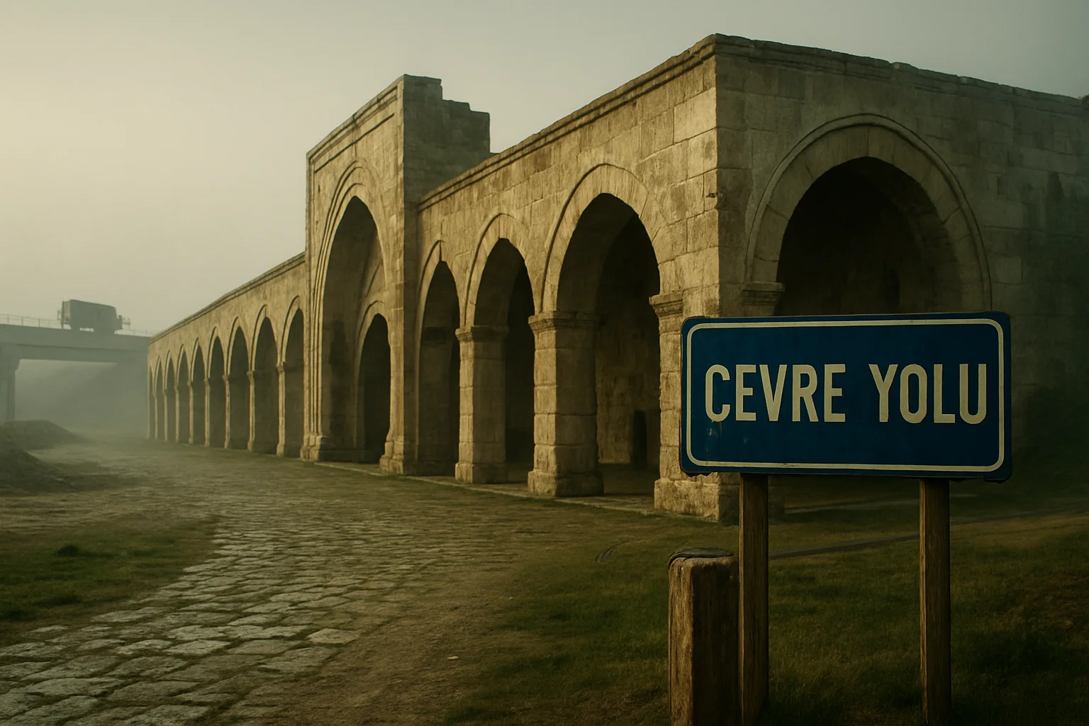
Anatolian Roads, from Caravan Routes to 'Bypass' Roads: Deep History Behind Modern Debates
Using the current 'bypass' debate as a hook (e.g. Eskişehir), this piece traces Anatolia’s road history — ancient routes, Seljuk caravanserais, Ottoman postal roads and the Republican highway legacy.
1. A long route: Anatolia as a crossroads
Anatolia’s geography has always placed it at the intersection of east–west and north–south corridors. From Hittite and Persian communications to the Roman military roads and Byzantine continuities, many of these ancient axes formed the skeleton on which later routes were overlaid. Archaeological traces and toponymy preserve fragments of these earlier lines, and in many cases later polities reused the same corridors.
2. Seljuk infrastructural policy: building caravanserais
Between the 12th and 13th centuries Seljuk rulers implemented an extensive caravanserai construction program. These hans were built at roughly a day’s distance from each other (commonly cited as 30–40 km), serving more than lodgings: they were nodes of commerce, craftsmanship and security. Recent scholarship and surveys underline how this building program materially organized long-distance trade across central Anatolia and to the Mediterranean ports. (See Cambridge; Dergipark publications.)
3. Ottoman continuities: postal stations, derbents and route control
The Ottoman state preserved and adapted Roman and Seljuk axes for administrative, fiscal and military needs. The derbent system — fortified choke points — and the mixture of postal relay stations and commercial hans demonstrate a layered system where roads were instruments of governance as much as commerce. Studies covering 1500–1800 show how logistical constraints shaped state capacity and local economies.
4. Republican highways: institutionalizing the road network
After 1923, Turkey’s state-led modernization included a deliberate effort to construct and integrate a national road network. The institutional evolution that led to today’s Karayolları Genel Müdürlüğü (KGM) is key to understanding how modern concepts such as motorways (otoyol) and ring roads (çevre yolu) entered planning practice. KGM historical data document this expansion from a modest early road network to the extensive paved system of the 21st century.
5. What is a 'bypass' (çevre yolu) in historical perspective?
Technically, a bypass reroutes through-traffic around a settlement to reduce congestion. Historically, however, a new road re-allocates flows of goods, people and investment; it reshapes urban growth directions and may affect agricultural land and historic sites. Thus, a bypass is also an agent of landscape transformation, not merely a traffic device.
6. Heritage at risk: caravanserais and archaeological corridors
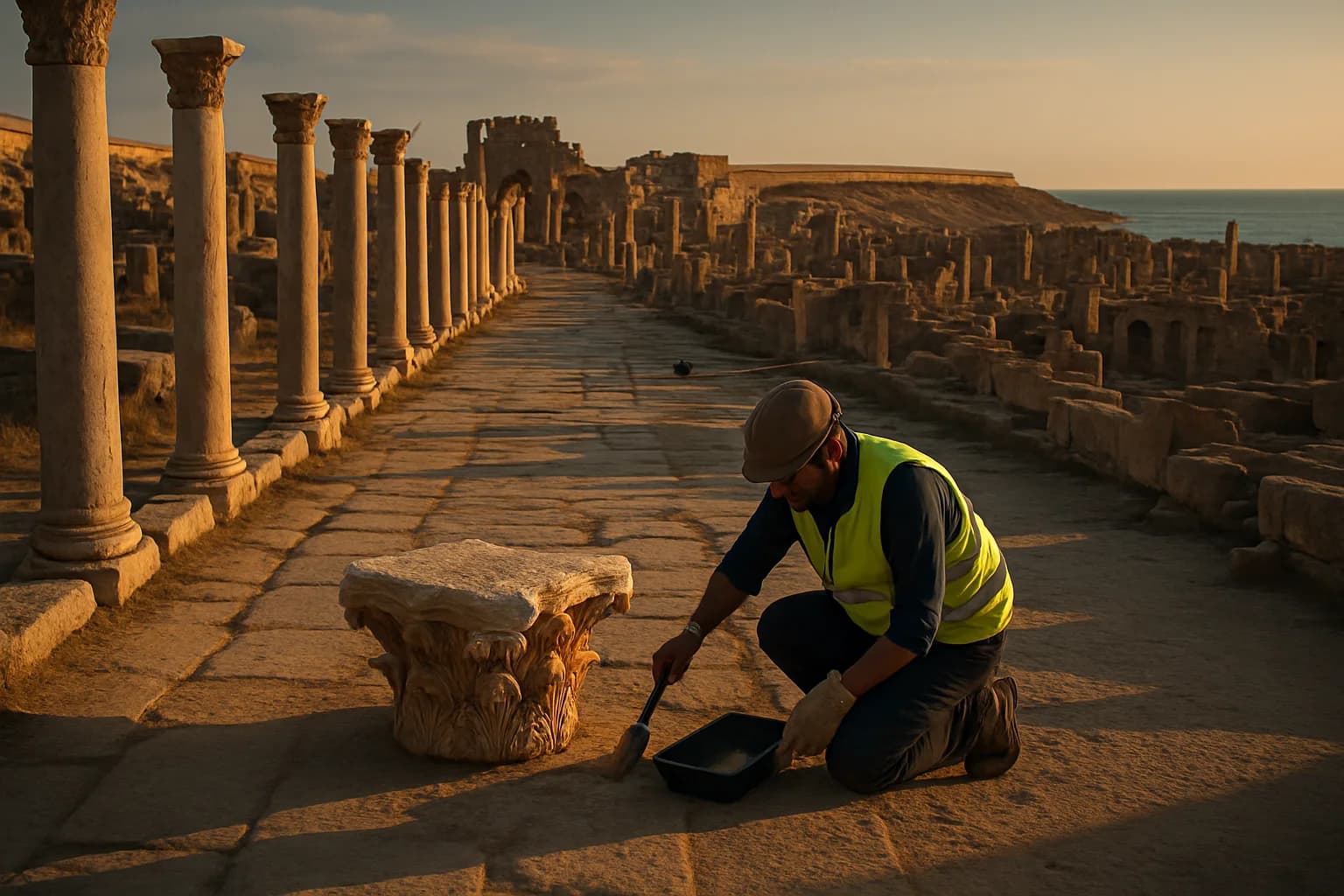
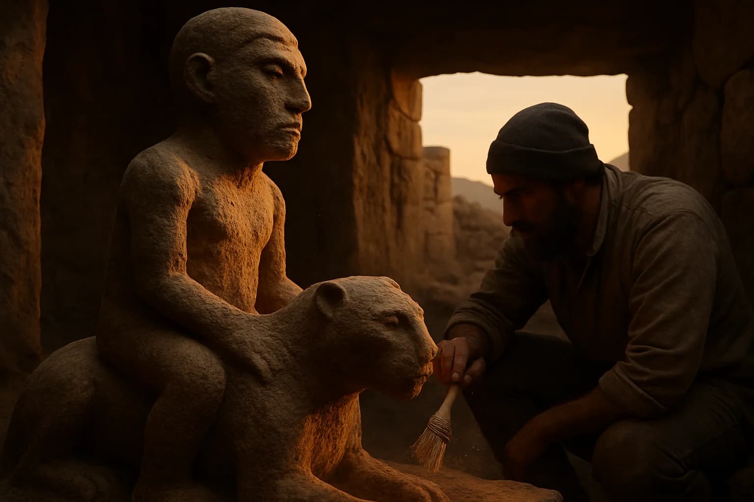
Historic caravanserais and hidden road traces frequently lie within or near proposed infrastructure corridors. If construction proceeds without archaeological assessment, damage is likely. Conversely, comprehensive surveys and monitoring allow for mitigation: rescue excavations, rerouting, and in situ protection. Academic repositories and field studies from Turkish universities emphasize collaborative approaches to protect both mobility needs and heritage.
7. Local politics and the Eskişehir case
Recent parliamentary interventions and local debate in Eskişehir illustrate how bypass proposals become political issues. Parliamentary records show representatives questioning investment allocations and demanding attention to local needs — demonstrating the overlap of technical planning, political representation and local identity in infrastructure choices.
8. Policy recipe: interdisciplinary planning and staged archaeology
Responsible road-making requires three elements: (1) mandatory pre-construction archaeological surveys; (2) publicly accessible impact assessments and town-hall discussions; (3) design flexibility to adopt less-damaging alignments. These steps are not merely bureaucratic hurdles but practical tools to reconcile transport efficiency with cultural preservation.
9. Final thought: reading modern roads as historical palimpsests
Every new asphalt ribbon in Anatolia runs over a palimpsest of older paths. Recognizing roads as carriers of collective memory — not only vehicles and freight — reframes debates about bypass construction. If planners, archaeologists, local communities and national agencies cooperate, today's bypasses can be built with respect for the layers beneath them, preserving traces of the caravan routes that shaped Anatolia for centuries.
Selected references
- Karayolları Genel Müdürlüğü — Tarihçe
- Architecture and Landscape in Medieval Anatolia — Cambridge University Press
- XII. ve XIII. Yüzyıllarda Anadolu’da İpek Yolu — Journal of Universal History Studies
- METU repository — Seljuk hanları study
- TBMM records — Eskişehir investment debate
Frequently asked questions
Do modern bypasses always destroy archaeological sites?
Not always. Proper pre-construction surveys, monitoring and mitigation can prevent or reduce destruction. Lack of assessment increases the risk.
Why were caravanserais spaced about 30–40 km apart?
That distance roughly matched a day’s travel for loaded caravans and the care needs of pack animals, making it a practical planning interval.
When did the Turkish state institutionalize highway building?
State-led highway expansion accelerated after the 1920s and 1930s; the institutions that became today’s KGM organized the national effort across decades.
How can citizens follow bypass project developments?
Follow official ÇED and KGM announcements, municipal disclosures, and parliamentary records; contact local universities for archaeological reports.
Sources and further reading
- Tarihçe — Karayolları Genel Müdürlüğü (KGM), n.d.
- The Seljuk Caravanserais of Anatolia / Architecture and Landscape in Medieval Anatolia, 1100–1500 (Cambridge University Press listing) — Cambridge University Press, 2018 (book)
- XII. ve XIII. Yüzyıllarda Anadolu’da İpek Yolu — Journal of Universal History Studies (Dergipark), 2019
- Anadolu'da Eşodaklı Selçuklu Hanları (tez / arşiv) — METU Institutional Repository, n.d.
- TBMM Tutanak: Eskişehir yatırım programı ve Meclis konuşmaları — Türkiye Büyük Millet Meclisi (TBMM), 2026-08 (session reference)
Keep exploring: Use the topic hub for closely related articles or browse the full archive instead of starting a new search.