Who Drew the Map of Turkey? From Piri Reis and the Cedid Atlas to the General Directorate of Mapping
From Piri Reis’s 1513 world map and the Cedid Atlas to Ottoman school wall maps and modern GIS, this article traces how the map of Turkey was made.
Why Turkey’s Digital Map Became a Battleground
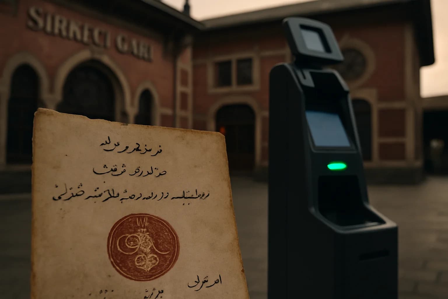
In the 2020s, debates about the “map of Turkey” have increasingly moved from classroom walls to phone screens. For nearly a decade, satellite imagery of Turkey on Google Maps appeared conspicuously blurry compared with many other countries. In late September 2025, Turkish tech media reported that Google had rolled out an update removing this general blur, making roads, settlements and terrain much sharper for users in Turkey and bringing the country closer to global standards.([hwp.com.tr](https://hwp.com.tr/google-maps-turkiye-haritasi-guncellendi-319240))
Reporting in outlets such as Karar suggested that the earlier low-resolution imagery was linked to unresolved questions over which military sites should be obscured, leading Google to apply a blanket downgrade in resolution as a precaution.([karar.com](https://www.karar.com/guncel-haberler/google-mapsten-turkiye-icin-tarihi-guncelleme-yillardir-suren-1994337)) The episode underlined an old lesson: maps are never just neutral tools. They sit at the intersection of technology, sovereignty and security—something that has been true for every “map of Turkey” long before GPS and smartphones.
Before “Turkey”: Anatolia in Ancient and Islamic Geography
Long before there was a state called the Republic of Turkey, the Anatolian peninsula was a central feature of ancient and medieval geography. Claudius Ptolemy’s Geographia, compiled in Roman Egypt, offered one of the earliest coordinate-based frameworks for the region. In the medieval Islamic world, geographers such as al-Idrisi inherited and transformed this tradition. His 12th-century world map, the so‑called Tabula Rogeriana produced at the Norman court in Sicily, depicts the Mediterranean basin and Anatolia with remarkable detail for its time.
These were not “maps of Turkey” in the modern sense, and their political boundaries bear little resemblance to today’s provincial lines. But they helped fix Anatolia in a mental and cartographic grid of continents, seas and route networks. When the Ottomans rose to power in the 15th century, they drew on this Islamic geographic heritage and fused it with Mediterranean portolan charts to create a distinct Ottoman cartographic culture.([press.uchicago.edu](https://press.uchicago.edu/sites/hoc/HOC_V2_B1/HOC_VOLUME2_Book1_chapter11.pdf))
Ottoman Cartography and the World of Piri Reis
After the conquest of Constantinople in 1453, Istanbul became a magnet for maps. The Topkapı Palace Library still preserves hundreds of manuscript maps and nautical charts (portolans). The Ottoman state—an enormous consumer of geographical information for taxation, military campaigns and administration—sponsored both practical and scholarly mapping.([press.uchicago.edu](https://press.uchicago.edu/sites/hoc/HOC_V2_B1/HOC_VOLUME2_Book1_chapter11.pdf))
One of the most famous figures to emerge from this milieu was the admiral and cartographer Piri Reis. His Kitab-ı Bahriye (Book of the Sea), compiled in the early 16th century, combined sailing directions around the Mediterranean with detailed coastal charts. Modern scholarship, synthesised in the multi‑volume History of Cartography, shows that Piri Reis stood at a crossroads of traditions, blending classical Islamic geography, Mediterranean portolan practice and the latest news of Atlantic discoveries.([bibliovault.org](https://www.bibliovault.org/BV.book.epl?ISBN=9780226316352))
The 1513 Piri Reis World Map: Stripping Away the Myths
Piri Reis’s 1513 world map is known today from a surviving fragment in the Topkapı Palace Museum Library. Drawn on gazelle skin, the fragment shows the Atlantic with the coasts of Europe, Africa and the Americas. The map lay forgotten until 1929, when it was rediscovered during cataloguing work at Topkapı.([media.unesco.org](https://media.unesco.org/sites/default/files/webform/mow001/turkey_world_map_piri_reis_en.pdf))
In 2017, UNESCO inscribed the Piri Reis map on its Memory of the World International Register, describing it as a portolan-style world map that offers a remarkably accurate depiction of newly discovered lands and as the earliest surviving cartographic record of Columbus’s oceanic voyages.([unesco.org](https://www.unesco.org/en/memory-world/piri-reis-world-map-1513?hub=66369)) The Turkish Ministry of Culture and Tourism emphasises how detailed his rendering of the Atlantic, Africa and the Americas is compared with contemporary works.([ktb.gov.tr](https://www.ktb.gov.tr/EN-113854/map-of-piri-reis.html))
The map has also attracted outlandish claims—such as supposedly depicting Antarctica or preserving knowledge from a lost Ice Age civilisation. However, careful analysis by historians of cartography shows that Piri Reis explicitly cites recent Portuguese and Spanish charts as sources, and the map fits well within the broader pattern of early 16th‑century European and Islamic mapping.([press.uchicago.edu](https://press.uchicago.edu/sites/hoc/HOC_V2_B1/HOC_VOLUME2_Book1_chapter11.pdf)) There is no solid evidence that it represents unknown ancient surveys; it is extraordinary precisely because it is a skilful synthesis of very recent, not prehistoric, information.
From Manuscripts to Print: The Cedid Atlas and the First Printed Turkish World Maps
The late 18th and early 19th centuries marked another turning point: the transition from manuscript maps to printed atlases in the Ottoman world. Building on the earlier experiment of İbrahim Müteferrika’s press, reformers of the Nizam-ı Cedid (New Order) sponsored a modern atlas. Around 1803–1804, the Cedid Atlas Tercümesi (“Translation of a New Atlas”), often called the Cedid Atlas, was printed in Istanbul at the Tab’hane‑i Hümâyun in Üsküdar.([dpul.princeton.edu](https://dpul.princeton.edu/atlases/feature/cedid-atlas-tercumesi-istanbul-1803))
Princeton University Library and the Library of Congress, which hold rare complete copies, describe the Cedid Atlas as the first world atlas published in the Muslim world using European geographic knowledge and cartographic methods. It consists largely of translated and adapted plates from the British cartographer William Faden’s General Atlas, complemented by a Turkish geographic treatise by Mahmud Raif Efendi.([dpul.princeton.edu](https://dpul.princeton.edu/atlases/feature/cedid-atlas-tercumesi-istanbul-1803)) Only about fifty copies were printed, and roughly twenty survive today.
The atlas includes a map of “Turkey” in a broad, early modern sense—covering Anatolia and adjacent regions—rendered with the new techniques of copperplate engraving and European-style projection. It visually anchors the idea of an Ottoman‑ruled Anatolia within a global framework of continents and states.
European Eyes on Anatolia: The Kiepert Maps and Ottoman School Atlases
During the 19th century, European explorers and surveyors traversed the Ottoman Empire, including the Anatolian heartland. The German cartographer Heinrich Kiepert produced detailed maps of Asia Minor based on route surveys—what historians call “route‑based cartography”. His Karte von Kleinasien became a standard reference for scholars and travellers and influenced later Ottoman mapping.([hcsjournal.org](https://www.hcsjournal.org/ojs/index.php/hcs/article/view/SV10))
At the same time, new Ottoman school maps began to appear. An influential study in Imago Mundi shows how, in the late 19th and early 20th centuries, wall maps used in schools increasingly depicted the empire as a unified territorial block with a clearly delineated centre and periphery, often modelled on European originals like those of Kiepert.([tandfonline.com](https://www.tandfonline.com/doi/full/10.1080/0308569042000289815)) These maps taught geography, but they also carried an implicit political message about imperial unity and legitimate borders—an important prelude to later republican “maps of Turkey”.
From Empire to Republic: The General Directorate of Mapping and the Modern Topographic Map
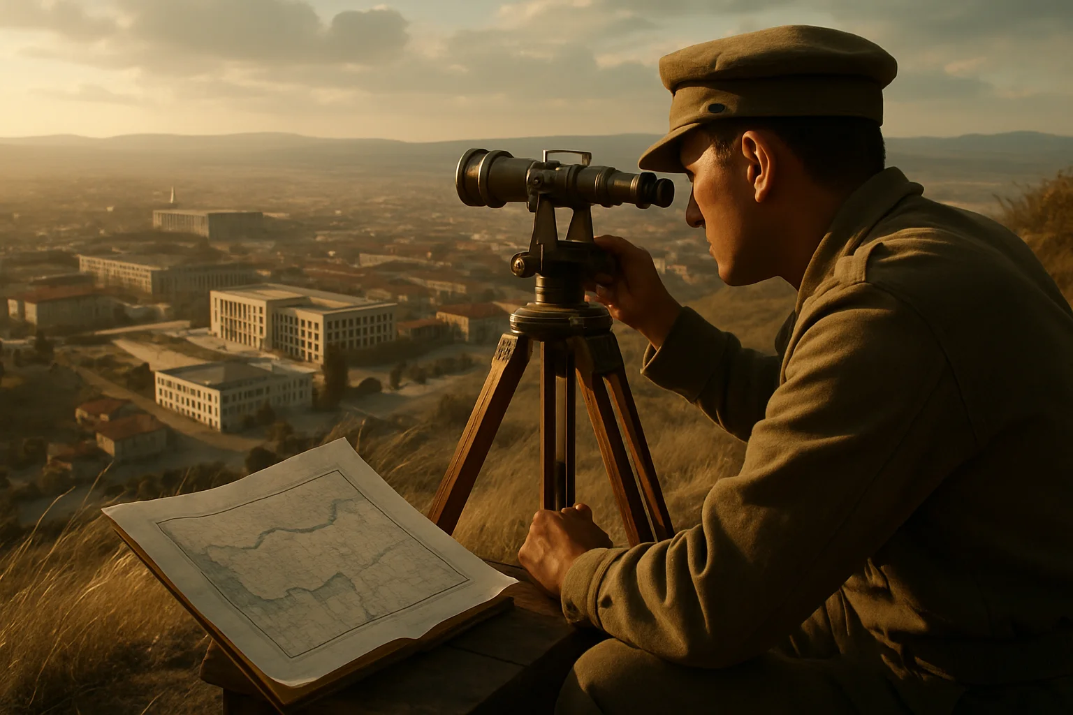
The emergence of a modern, measured map of Turkey owes much to institutions founded in the late Ottoman and early republican periods. In 1895 the Ottoman Ministry of War established a Harita Komisyonu (Map Commission) to produce modern maps; by 1896 it had completed a first map covering Eskişehir and its surroundings.([harita.gov.tr](https://www.harita.gov.tr/genel-bilgi-/sayfa/3)) In 1909, a 1:25,000 scale was adopted as the basic scale for national mapping, and systematic surveys began from the Bakırköy sheet near Istanbul.([harita.gov.tr](https://www.harita.gov.tr/genel-bilgi-/sayfa/3))
After the War of Independence, the young Republic reorganised this effort. On 2 May 1925, Law 657 created the Harita Umum Müdürlüğü (General Mapping Directorate), under the Ministry of Defence, to handle all state mapping tasks.([lexpera.com.tr](https://www.lexpera.com.tr/mevzuat/kanunlar/harita-genel-komutanligi-kanunu-657/16)) A 1:200,000 Memleket Haritası (Country Map) series, started in 1909, was completed by 1930 and became the basic reference for infrastructure planning, education and military operations in early republican Turkey.([sbb.gov.tr](https://www.sbb.gov.tr/wp-content/uploads/2018/11/04_HaritaTapuKadastro.pdf))
Today this institution—renamed the General Directorate of Mapping (Harita Genel Müdürlüğü)—is Turkey’s national mapping agency. Based in Ankara, it produces both paper and digital topographic maps and geospatial data to support defence and development projects. Official documents describe the directorate as the national cartographic authority and a key provider of geographic information to state bodies and, in some cases, to civilian users. In other words, the “official” map of Turkey in both analogue and digital form is still largely shaped here.
Old Maps, New Infrastructures: GIS and Historical Mapping
In the 21st century, Turkey’s map is not only about current geography; it has also become a tool for exploring the past. Historical maps—Ottoman cadastral plans, Kiepert’s route maps, early republican sheets—are being digitised and georeferenced within Geographic Information Systems (GIS). Scholars have used 19th‑century maps of Anatolia to geolocate long‑abandoned settlements, compare historical and modern place names, and reconstruct old transport networks.([ica-proc.copernicus.org](https://ica-proc.copernicus.org/articles/3/10/2021/ica-proc-3-10-2021.pdf))
The General Directorate of Mapping itself has begun to release thematic digital products that tie geography to memory, such as an online map of Turkish military cemeteries and monuments in 48 foreign countries, created by mapping 172 sites with precise coordinates.([reddit.com](https://www.reddit.com/r/haritalariseviyoruz/comments/1v6oo8o/hgm_yurt_d%C4%B1%C5%9F%C4%B1_t%C3%BCrk_%C5%9Fehitlikleri_ve_an%C4%B1tlar%C4%B1/)) In such projects, “the map of Turkey” extends well beyond present borders, visualising the spatial footprint of its modern history.
Are Maps Neutral? Power, Propaganda and Map Literacy
Modern research in the history of cartography shows that maps have long functioned as rhetorical and political instruments. Scholars studying Ottoman school maps have shown how they were redesigned in the late empire to centre Istanbul and tighten the visual coherence of imperial territory.([tandfonline.com](https://www.tandfonline.com/doi/full/10.1080/0308569042000289815)) Work on colonial-era mapping of the Americas has traced how European powers used cartography to naturalise territorial claims and erase indigenous spaces.([tandfonline.com](https://www.tandfonline.com/doi/pdf/10.1080/07350198.2024.2318063))
The recent Google Maps controversy can be read as a digital‑age continuation of these dynamics. Decisions about which areas of Turkey could be shown in high resolution, which had to be blurred, and how quickly updates should be rolled out were negotiated among state security concerns, corporate risk assessments and technical constraints. Ordinary users, however, often experienced the resulting image as simply “the map of Turkey”.
Placing today’s map of Turkey alongside Piri Reis’s parchment, the Cedid Atlas copperplates, late Ottoman school wall maps and the Republic’s 1:200,000 sheets reminds us that every map is a designed object. Understanding who drew it, for whom, from what data and under which constraints is essential map literacy. Only with that awareness can we read the outline of Turkey on our screens not just as a neutral backdrop, but as a palimpsest of centuries of geographical knowledge, power struggles and technological change.
Frequently asked questions
Is Piri Reis’s 1513 map really the first map to show the Americas?
The surviving 1513 Piri Reis map fragment is among the earliest surviving world maps to depict the Americas, and UNESCO highlights it as the earliest cartographic record of Columbus’s oceanic voyages.([unesco.org](https://www.unesco.org/en/memory-world/piri-reis-world-map-1513?hub=66369&utm_source=openai)) However, it is not the very first map of the New World. Earlier, now‑lost Iberian charts almost certainly existed, and a few late 15th‑century European portolan maps with rudimentary American coastlines survive. Piri Reis’s importance lies in how he synthesised these new discoveries within an Ottoman and Islamic cartographic framework.
What makes the Cedid Atlas significant in the history of Turkish cartography?
Printed in Istanbul around 1803–1804, the Cedid Atlas Tercümesi was the first modern world atlas published in the Muslim world and the first printed Ottoman atlas based on European cartographic methods.([dpul.princeton.edu](https://dpul.princeton.edu/atlases/feature/cedid-atlas-tercumesi-istanbul-1803)) It translated and adapted plates from William Faden’s <em>General Atlas</em> into Ottoman Turkish and was printed in a very small run of about fifty copies, making surviving examples exceptionally rare. The atlas symbolised a broader reformist effort to integrate European scientific knowledge into Ottoman statecraft.
When was Turkey’s national mapping agency founded, and what does it do today?
The roots of Turkey’s national mapping agency go back to an Ottoman Map Commission established in 1895, which produced the first modern maps around Eskişehir in 1896.([harita.gov.tr](https://www.harita.gov.tr/genel-bilgi-/sayfa/3)) After the War of Independence, Law 657 of 2 May 1925 created the Harita Umum Müdürlüğü (General Mapping Directorate), tasked with producing all official maps.([lexpera.com.tr](https://www.lexpera.com.tr/mevzuat/kanunlar/harita-genel-komutanligi-kanunu-657/16)) Today the institution—now called the General Directorate of Mapping—operates under the Ministry of National Defence, providing both analogue and digital topographic maps and geospatial data for defence, infrastructure, planning and other public needs.
Why were satellite images of Turkey blurry on Google Maps for so many years?
For roughly a decade, users in Turkey saw relatively low‑resolution satellite imagery on Google Maps, while the same locations appeared sharper when accessed from abroad. In 2025, tech outlets reported that Turkish authorities and Google had reached a new agreement, after which Google removed the general blur and aligned Turkey’s imagery quality with that of many other countries, while keeping some military installations obscured.([hwp.com.tr](https://hwp.com.tr/google-maps-turkiye-haritasi-guncellendi-319240)) The episode illustrates how national security concerns and corporate policies can directly shape what “the map of Turkey” looks like online.
Where can I view historical maps of Turkey online?
Several institutions provide digitised historical maps relevant to Turkey. UNESCO and Google Arts & Culture host high‑resolution images of the Piri Reis world map held at Topkapı Palace.([unesco.org](https://www.unesco.org/en/memory-world/piri-reis-world-map-1513?hub=66369&utm_source=openai)) Princeton University Library and the Library of Congress offer online access to plates from the Cedid Atlas.([dpul.princeton.edu](https://dpul.princeton.edu/atlases/feature/cedid-atlas-tercumesi-istanbul-1803)) The General Directorate of Mapping has published selected thematic maps, including a digital map of Turkish military cemeteries and monuments abroad, as well as some historical products.([reddit.com](https://www.reddit.com/r/haritalariseviyoruz/comments/1v6oo8o/hgm_yurt_d%C4%B1%C5%9F%C4%B1_t%C3%BCrk_%C5%9Fehitlikleri_ve_an%C4%B1tlar%C4%B1/)) Many universities and archives in Turkey and abroad also host digitised Ottoman and early republican maps in their online collections.
Sources and further reading
- The Piri Reis World Map (1513) - Memory of the World — UNESCO, 2017
- Map of Piri Reis — T.C. Ministry of Culture and Tourism, n.d.
- Cedid Atlas Tercümesi (Istanbul, 1803) — Princeton University Library, n.d.
- Cedid Atlas — Wikimedia Foundation, n.d.
- Harita Genel Müdürlüğü – Tarihçe — Harita Genel Müdürlüğü (General Directorate of Mapping, Türkiye), n.d.
- The History of Cartography, Volume Two, Book One: Cartography in the Traditional Islamic and South Asian Societies — University of Chicago Press, 1992
- Google Maps Türkiye haritası güncellendi! — Hardware Plus (HWP), 2025-09-25
- Google Haritalar'da bulanıklık düzeldi: Türkiye artık daha net — CHIP Online, 2025
Keep exploring: Use the topic hub for closely related articles or browse the full archive instead of starting a new search.