From Storm Omens to Satellites: A Long History of Weather Forecasting in Anatolia and Beyond
Colour-coded warnings and phone apps crown a long story of weather forecasting, from Ottoman Rasathane-i Âmire to the Turkish State Meteorological Service and satellites.
Why We Care So Much About Tomorrow’s Weather
In recent years, Turkish news bulletins have routinely opened with heavy rain, hail, storms or heatwaves – often framed with yellow, orange or red alerts on maps. The Turkish State Meteorological Service’s MeteoUYARI system, aligned with similar schemes in Europe, uses simple colours to show risk levels for each province and even for individual districts. The goal is straightforward: give people and authorities time to act before floods, storms or cold snaps turn into disasters.
This concern is far from new. People have always needed to know when to plant or harvest, when to set sail, or when to launch a campaign. What has changed is the machinery behind the forecast. The brief icon on a phone screen today rests on centuries of accumulated observation, instruments, and – crucially – international networks of data exchange. Understanding that history helps explain why forecasts can save lives yet still sometimes “fail”.
Reading the Sky Before Science: Folk Forecasting Around the World
Meteorology as a science is relatively young, but attempts to anticipate the weather are ancient. In China, agricultural almanacs from around the third century BCE linked certain cloud types and winds with rain or fair weather. In the Indian subcontinent, early astronomers and farmers tried to relate the timing of monsoon rains to celestial cycles. Across the Mediterranean, sayings about red dawns, haloed moons or particular winds served as rough guides to tomorrow’s sky.
Anatolia developed its own rich weather lore. Shepherds watched how clouds clung to mountain ridges; fishermen paid attention to sudden calms on the sea; villagers noted how an early evening chill or peculiar bird flight sometimes preceded snow. Much of this knowledge was local and practical. It could be remarkably effective for short-term decisions in a familiar landscape, yet it had no way of seeing what was happening hundreds of kilometres away. Systematic, widely applicable forecasts would only emerge once observations could be measured, recorded and shared.
From Feeling to Measuring: Thermometers, Barometers and the Atmosphere
The invention of reliable thermometers and barometers in the 17th century marked a turning point. Temperature and air pressure – once only “felt” – became numbers that could be compared over time and between places. European observatories began to log these values, gradually building up climate records and noticing patterns, such as the link between falling pressure and approaching storms. Such records would later become the backbone of weather statistics and model verification.
Ottoman scholars and engineers were aware of these developments. Instruments used for navigation, timekeeping and astronomy also allowed basic meteorological measurements. Still, as long as observations remained scattered in private hands or among military units, their potential remained limited. The decisive step was the creation of an imperial observatory dedicated, among other things, to systematic atmospheric measurements: the Rasathane-i Âmire, established in Istanbul in 1868.
Telegraph Wires and Inked Charts: The Birth of Modern Forecasting
The technology that truly transformed weather prediction was not a new instrument but the electric telegraph. In Britain, the Meteorological Office founded in 1854 under naval officer Robert FitzRoy began collecting standardised observations from coastal stations and transmitting them to London by telegraph. After the devastating Royal Charter storm of 1859, FitzRoy created a national storm warning service that started operating in 1861. The same year, he published the first public weather forecasts in a newspaper, offering 24–48 hour outlooks for broad regions.
These early forecasts were crude by today’s standards – the country was split into a few large areas and described with simple words like ‘fine’ or ‘rain’. Yet they represented a revolution. For the first time, simultaneous observations from many places were drawn onto a single weather map and used to extrapolate the movement of pressure systems into the near future. The very phrase “weather forecast”, coined in this context, initially faced scepticism from scientists but quickly became indispensable for mariners and traders.
Rasathane-i Âmire: The Ottoman Imperial Observatory and Its Network
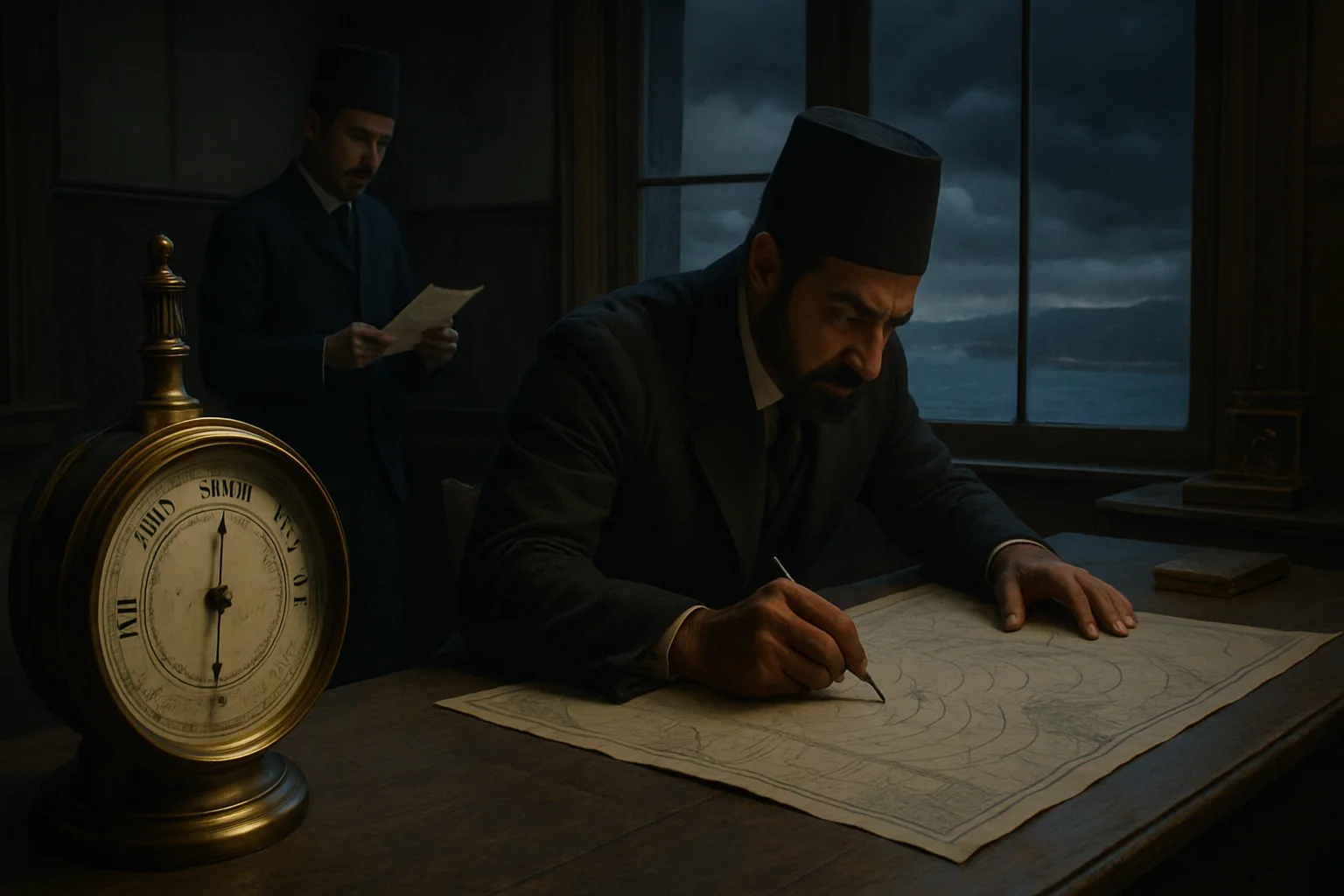
The Ottoman Empire did not stand outside this transformation. In 1868 it established the Rasathane-i Âmire (Imperial Observatory) in Istanbul, inspired by state observatories in Paris, Rome and Vienna. Under its first director, Aristide Coumbary, the institution operated from a building in Pera and focused on meteorological observations alongside timekeeping and, later, astronomy and seismology. Staff recorded temperature, pressure, humidity, wind and precipitation, providing the first sustained series of modern measurements for the capital’s climate.
Crucially, the observatory built a wider observing network. By late 1868, stations in Izmir, Diyarbakır and Baghdad were also taking readings; by 1869, data from cities like Berlin, St Petersburg and Tbilisi were being received via telegraph. Ottoman stations at ports and inland towns exchanged information with European meteorological centres, and Coumbary represented the empire at international meteorology congresses. In effect, Ottoman lands became part of a growing transnational system in which storms and pressure systems could be tracked across borders.
From Empire to Republic: Founding the State Meteorological Service in 1937
During the late imperial period, meteorological activities were divided between observatories, agricultural schools and military units. The early Turkish Republic inherited this patchwork and soon recognised that unified organisation was essential. In 1925 the Rasadat-ı Cevviye (Meteorology Institute) was created as a precursor, but it lacked the legal authority and resources to build a comprehensive national network on its own.
On 19 February 1937, Law No. 3127 established the General Directorate of State Meteorological Affairs under the prime minister’s office. Cabinet justifications highlighted the need for coordinated, reliable data to support agriculture, transportation, defence and urban planning. The new directorate was tasked with expanding observation networks, standardising methods, cooperating with international bodies and providing regular forecasts to the public. When Turkey joined the World Meteorological Organization in 1949, its network became part of a global system aimed at sharing data and improving forecasts worldwide.
Satellites, Supercomputers and Colour-Coded Warnings
Today the Turkish State Meteorological Service runs hundreds of automatic weather stations, weather radars, upper-air sounding sites and receives continuous data from meteorological satellites. A booklet prepared for World Meteorological Day in 2013 underlined how, over the previous half-century, dense observation networks and powerful computers had dramatically extended forecast skill; five-day forecasts had become roughly as reliable as two-day forecasts once were. This global progress rests on a web of international data exchange and shared modelling techniques.
In Turkey, the most visible expression of this modern system is MeteoUYARI. The service presents early warnings for hazardous weather using four colours: green for normal conditions, yellow for potentially dangerous events, orange for infrequent but serious threats, and red for very dangerous situations that may endanger life and property. The alerts do not cover only rain and wind but also heat and cold waves, snow, ice, avalanches, dust transport and more. From the 19th-century telegraph to today’s push notifications, the purpose has remained consistent: translate complex atmospheric data into simple signals that help people and institutions prepare.
Proverbs and Model Output: Where Intuition Meets Science
The rise of modern meteorology has not erased folk wisdom. In Turkish, sayings linking red sunsets to fair weather, or early winter thaws to later heavy snow, are still widely used. Some of them likely encode kernels of genuine local climate knowledge: particular wind directions tend to bring moisture from certain seas; recurring cloud formations over specific mountains may indeed herald rain. Long-term experience of farmers, shepherds and fishers should not be dismissed lightly.
Yet such proverbs alone cannot handle the full complexity of today’s climate and rapid weather changes. Pressure patterns and jet streams thousands of kilometres away influence whether Istanbul sees rain or sun three days from now. Capturing these influences requires global satellite observations, upper-air measurements and numerical weather prediction models running on supercomputers. Local intuition still matters – for example, in interpreting how a forecast might interact with a valley’s microclimate – but it becomes one ingredient in a much larger, science-based picture.
Living with Uncertainty: The Future of Forecasting
Despite unprecedented data and computing power, weather forecasts will never be perfect. The atmosphere is a chaotic system: tiny uncertainties in the initial state can grow quickly, so that beyond a certain range the exact evolution becomes unpredictable. Modern meteorology deals with this by issuing probabilistic forecasts and by emphasising impact-based warnings – focusing less on the precise amount of rain and more on what that rain might do to rivers, roads and cities.
Turkey’s long weather records, some reaching back to the late 19th century, are now vital for understanding how climate change is altering the frequency and intensity of heatwaves, heavy downpours or droughts. They allow researchers to compare today’s extremes with past variability and to assess how risks are shifting. Every time a yellow or orange warning appears on a smartphone, it is therefore not just about the next 24 hours. It is also the product of generations of observers, instrument makers, telegraph operators, coders and forecasters – all trying to answer the deceptively simple question that has echoed since the first farmers looked up at the sky: “What will the weather be tomorrow?”
Frequently asked questions
How was the weather forecast in the Ottoman Empire?
By the late 19th century the Ottoman Empire operated a small but modern meteorological network centred on the Rasathane-i Âmire in Istanbul. Stations in cities such as Izmir, Diyarbakır and Baghdad measured temperature, pressure, wind and precipitation and sent their observations to the capital by telegraph. These data were combined with information exchanged with European meteorological centres to track storms and attempt simple forecasts, especially for shipping and military needs. Compared with today’s systems, coverage was sparse and forecasts were infrequent and generalised.
When and why was the Turkish State Meteorological Service founded?
The General Directorate of State Meteorological Affairs was established on 19 February 1937 by Law No. 3127. The young republic needed a central body to coordinate scattered meteorological activities inherited from the Ottoman era, expand observation networks, standardise methods and supply reliable data for sectors such as agriculture, transport, defence and urban planning. Membership in the World Meteorological Organization from 1949 onwards integrated Turkey’s network into a global system for data sharing and forecasting.
What do the colour-coded weather warnings in Turkey actually mean?
MeteoUYARI, operated by the Turkish State Meteorological Service, uses four colours to express risk levels in a simple way. Green means no hazardous weather is expected. Yellow signals potentially dangerous conditions that may affect certain activities. Orange indicates less frequent but more severe events with a significant risk of damage. Red is reserved for very dangerous situations likely to threaten life and cause serious losses. The system covers a wide range of phenomena, from thunderstorms and heavy rain to heatwaves, snow, ice, avalanches and dust storms.
Are traditional weather proverbs in Anatolia scientifically reliable?
Some proverbs capture genuine local patterns – for example, particular winds that tend to bring rain from a nearby sea, or typical sequences of warm and cold spells. However, few of these sayings have been rigorously tested with long-term data, and most were coined under climate conditions that are now changing. They can still be useful as rough hints, especially for people closely familiar with their local environment, but they should not be treated as substitutes for modern forecasts based on dense observation networks and numerical models.
Can researchers access historical weather records from Turkey?
Yes, although access routes differ. The Turkish State Meteorological Service maintains extensive archives of surface and upper-air observations, some of which are shared through international climate databases, while others are available to researchers by request. Boğaziçi University’s Kandilli Observatory also holds historical materials on the Rasathane-i Âmire and its successors. These archives are increasingly important for studies of past climate variability and for assessing how the frequency and intensity of extreme events in Turkey are changing over time.
Sources and further reading
- Türk Meteoroloji Tarihi — Meteoroloji Genel Müdürlüğü, n.d.
- Can ve Mal Emniyeti İçin Havayı Gözlemek: Dünya Hava Gözlemi Programı’nın 50. Yılı (WMO-No.1107, Türkçe baskı) — Dünya Meteoroloji Teşkilatı (WMO) / Meteoroloji Genel Müdürlüğü, 2013
- Kandilli Rasathânesi — TDV İslâm Araştırmaları Merkezi, 2025-12-16
- Robert FitzRoy and the early Met Office — Met Office (UK National Meteorological Service), n.d.
- MeteoUyarı Nedir? — Meteoroloji Genel Müdürlüğü, n.d.
- Weather forecasting — Wikipedia, n.d.
Keep exploring: Use the topic hub for closely related articles or browse the full archive instead of starting a new search.